June 26, 2025
From Space to the Deep Sea: Exploring Our Planet Through a Different Lens
Have you ever wondered how we get information about extreme weather events like hurricanes? Or how we know the age of the oldest tree? Offices within the National Oceanic and Atmospheric Administration (NOAA) specialize in collecting and analyzing data from space to the deep sea to bring this information to our fingertips.
FROM SPACE TO THE DEEP SEA AND BEYOND
How are Kermit the Frog, Miss Piggy, and Gonzo helping save our oceans? They are all names for aircraft that are part of a fleet managed by NOAA’s Office of Marine and Aviation Operations Aircraft Operations (OMAO).
Official aircraft logo. Credit: NOAA
This state-of-the-art fleet is made up of 10 aircraft and 15 research and survey ships that travel around the world collecting data crucial to NOAA’s mission.
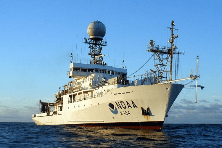
NOAA Ship Ronald H. Brown. Credit: NOAA
They also monitor marine animals, assist in emergency response efforts during a disaster, and carry scientists and equipment. You may know their work — ever heard of a hurricane hunter? That is exactly what the aircraft known as Kermit does. Some very brave researchers and pilots fly straight into gusty winds, torrential rain, and violent turbulence to get to the eye of a hurricane to gather information that helps us better understand and prepare for severe storms.
Speaking of severe weather, here’s a story that might shock you: On April 29, 2020, NOAA satellites made history when they captured the world’s longest lightening flash on record. The bolt sent shockwaves from the central coast of Texas to southern Mississippi – a total of 477 miles! You might ask yourself: “How did scientists capture this giant flash?” It’s all thanks to the National Environmental Satellite, Data, and Information Service (NESDIS) – an office within NOAA that collects and shares data from all the agency’s satellites.
Lightning as seen from the Geostationary Lightning Mapper on NOAA’s GOES-16 satellite from April 29, 2020. Credit: NOAA
But catching incredible data and images isn’t all the NESDIS does! Here’s a look at what else they do:
Provide weather information to our nation: 24-hours a day and 365 days a year, NESDIS manages data from NOAA weather satellites. In fact, 95% of the data used in forecast modeling comes from satellites. If that wasn’t great enough, NESDIS also oversees the most advanced weather-observing satellite system in the Western Hemisphere. This system provides quicker images of weather patterns, can detect severe weather sooner, and it even detects space storms.
Monitor the environment: These satellites collect massive amounts of data about the planet’s atmosphere, land, oceans, and space. NESDIS collects this data, analyzes it, distributes it, and also archives it. The agency maintains one of the most significant archives of environmental data on the planet. From million-year-old tree rings to near-real-time satellite images, NESDIS handles it all.
It’s safe to say the work NESDIS does is out of this world!
HELP SAVE NOAA TODAY
From space to the deep sea, NOAA is exploring our planet through a different lens. These offices not only help us understand the mysteries of our planet but also provide us with critical information that we use every day.
However, NOAA is under threat, facing severe budget cuts that impact the agency’s ability to do its job effectively. You can help by joining Oceana to call on Congress to save NOAA and its critical programs. Sign the petition today!
This is the fourth installment of our ‘What Does NOAA Do‘ series.
MOST RECENT
August 22, 2025
Corals, Community, and Celebration: Oceana Goes to Salmonfest!